

ORIGINAL 1940 RICHFIELD HIGHWAY MAPS. WESTERN UNITED STATES
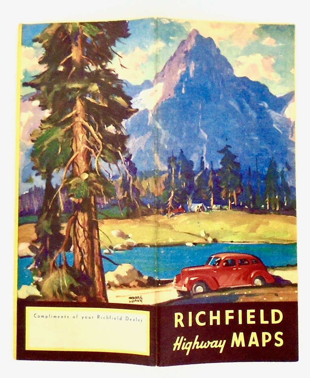
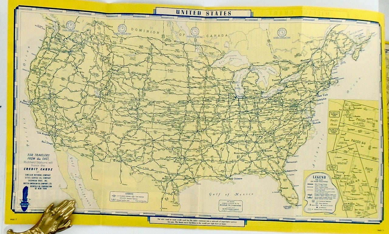
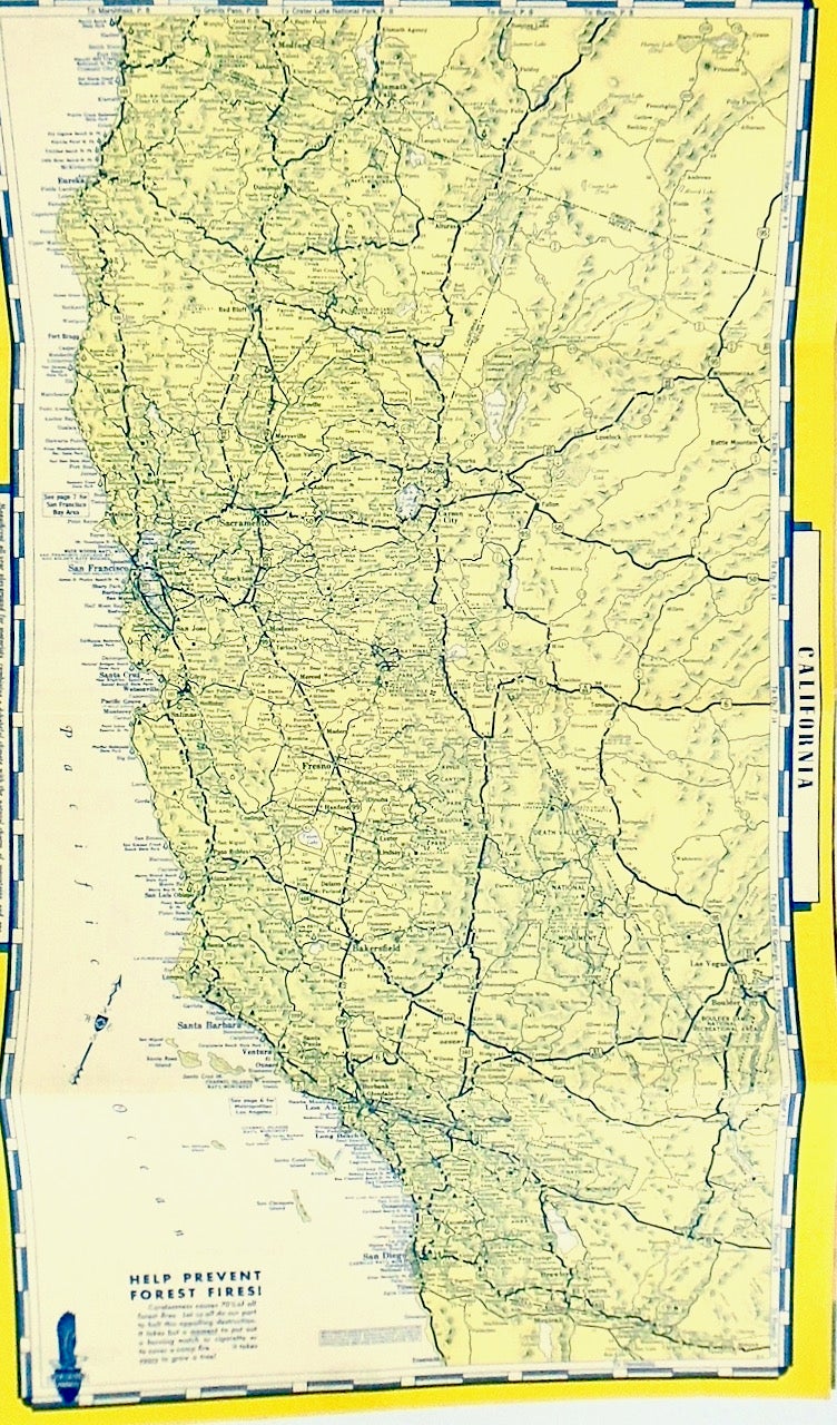
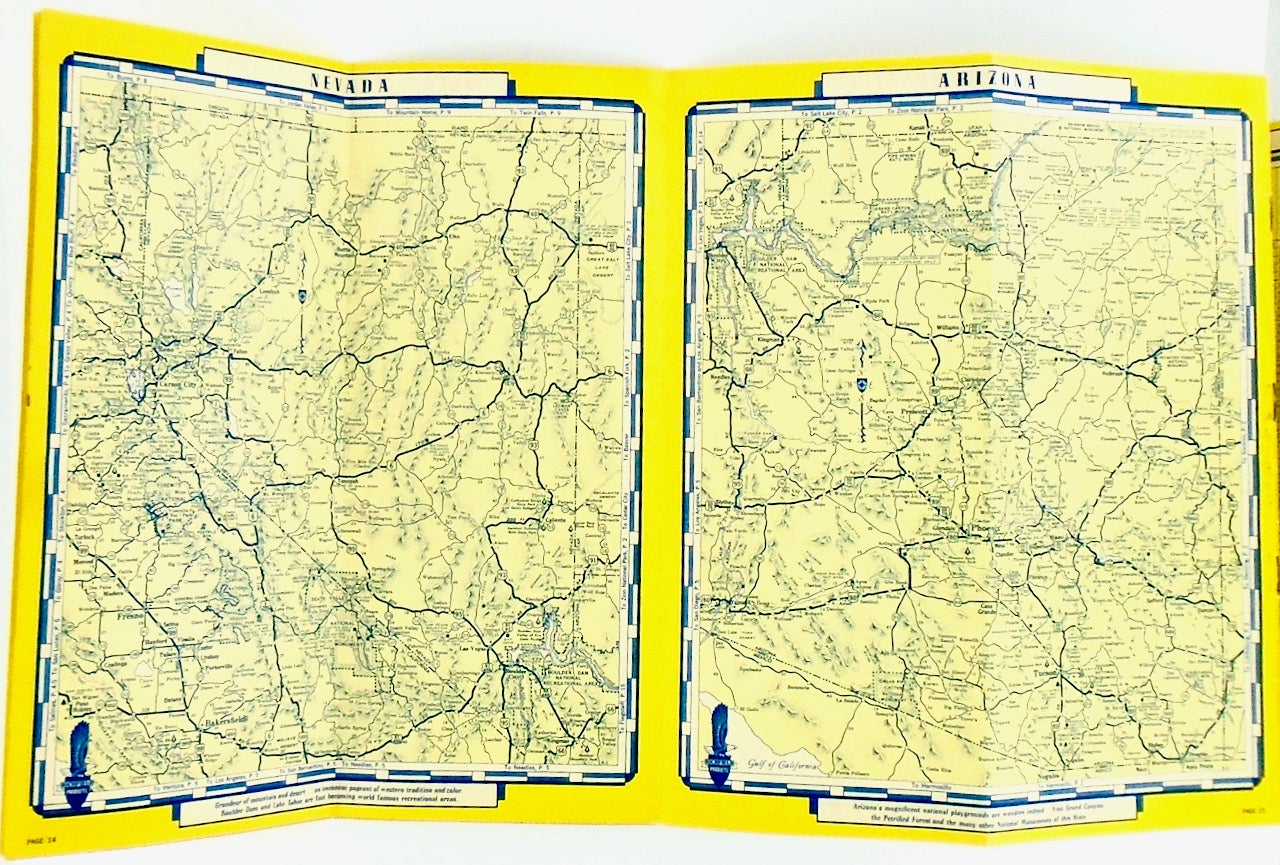
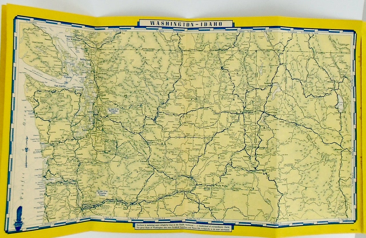
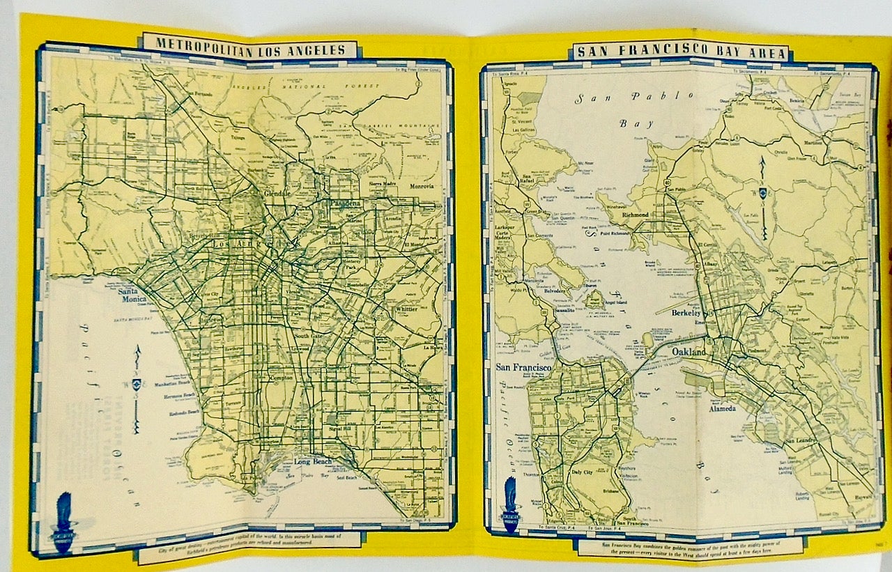
Chicago: Richfield Oil Corporation, 1940. First Edition. Illustrated Wrappers. This is an ORIGINAL 1940 Richfield Oil Corporation booklet containing maps of the Western United States. The maps are: (1) United States, (2) California, (3) Washington, (4) Oregon, (5) Arizona, (6) Idano, (7) Nevada, (8) San Francisco Bay Area, (9) Metropolitan Seattle, (10) Metropolitan Los Angeles and (11) Metropolitan Portland. There is also a Mileage Chart showing distances between major cities. Printed for Richfield by The H. M. Gousha Company of Chicago. The map of the San francisco Bay Area shows Treasure Island and notes the Golden Gate International Exposition. Stapled wrappers, folded in fourths. 4" x 9 1/4" folded. 4" x 16" fully extended. Marked 15 pages. A Near Fine copy (slight staple rust; rubbed a bit from handling), now in a 4mil clear mylar protective envelope. FREE SHIPPING to any United States address. Near Fine / 4-mil clear mylar envelope. Item #2584
Price: $35.00